Around the Lakes in a Day
In Melbourne, they have a great cycling event called Around the Bay in a Day. It's 210km for the basic route around Port Phillip Bay, and 2024 will be the thirtieth year of the ride! Us poor cousins here in Adelaide don't have a bay we can ride around; indeed, we no longer even have a community ride as a part of the Tour Down Under. But we do have some lakes. So, I went "round the lakes" in a day. It's not possible to get all the way around Lake Alexandrina—outside of some very illegal behaviour, but the idea of riding the Murray River barrages to do the full loop clearly appealed to one of the ferry operators, who was a bit disappointed to find I was not doing that!
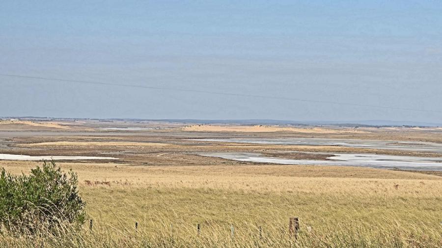
My 24 hour 365 kms included fog over Willunga Hill, some most unpleasant "nowhere to hide" head winds, temperatures down to 3 degrees, and lots of glorious silent night. The sheer variety of Australian landscapes on this ride make it worth the effort, even without the lake circuit.
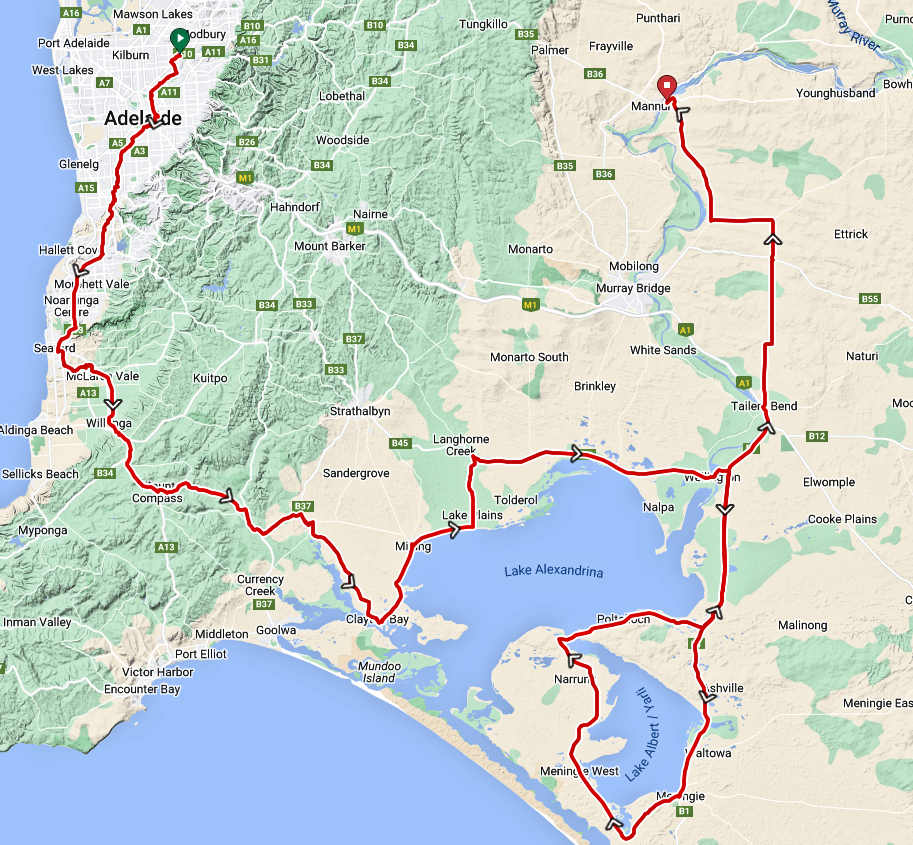
I left home just before 2am and took the Patrick Jonker Veloway down to Willunga. One noticeable thing about this early start was how quiet the bike way was compared to the normal day-time roar from the adjacent Southern Expressway! I've not noticed a similar early morning quiet on the Tapa Marthini Yala! (The Northern Expressway.) That road never sleeps.
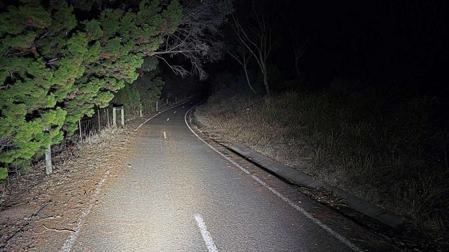
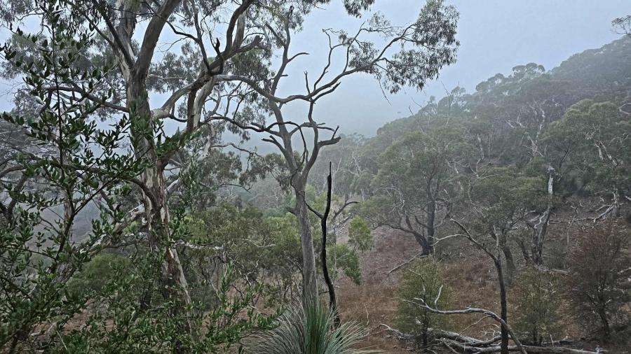
Willunga Hill was wrapped in wet low cloud, but the climb kept me warm until Mt. Compass. Shortly after that, it was clear my padded gilet was not up to the task, and I swapped to a winter jacket with long sleeves. By Clayton Bay. I had the gilet back on, over the top. Summer is over.
This was all down to windchill, of course. It was 3°C at McLaren Vale, and I was just fine in a gilet. But 10°C at Ngangkita was freezing thanks to a cross breeze. Well under 20 kph, it still chilled me right down.
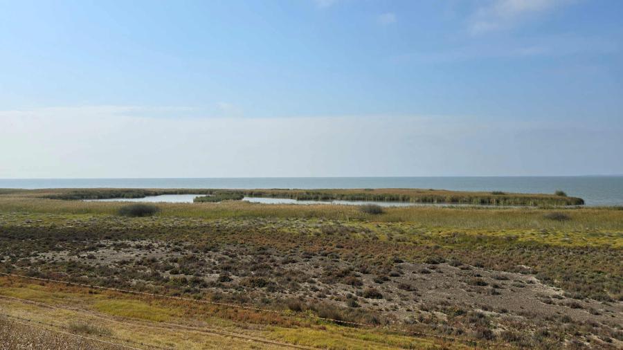
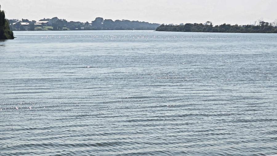
The lake country, and the B1 Highway along the Coorong, can be brutal when it comes to wind. The wind was up by the time I reached Wellington—not much above 25kmh, but I was headed directly into it for 42km of character building patience, in fairly heavy traffic, to reach Meninge.
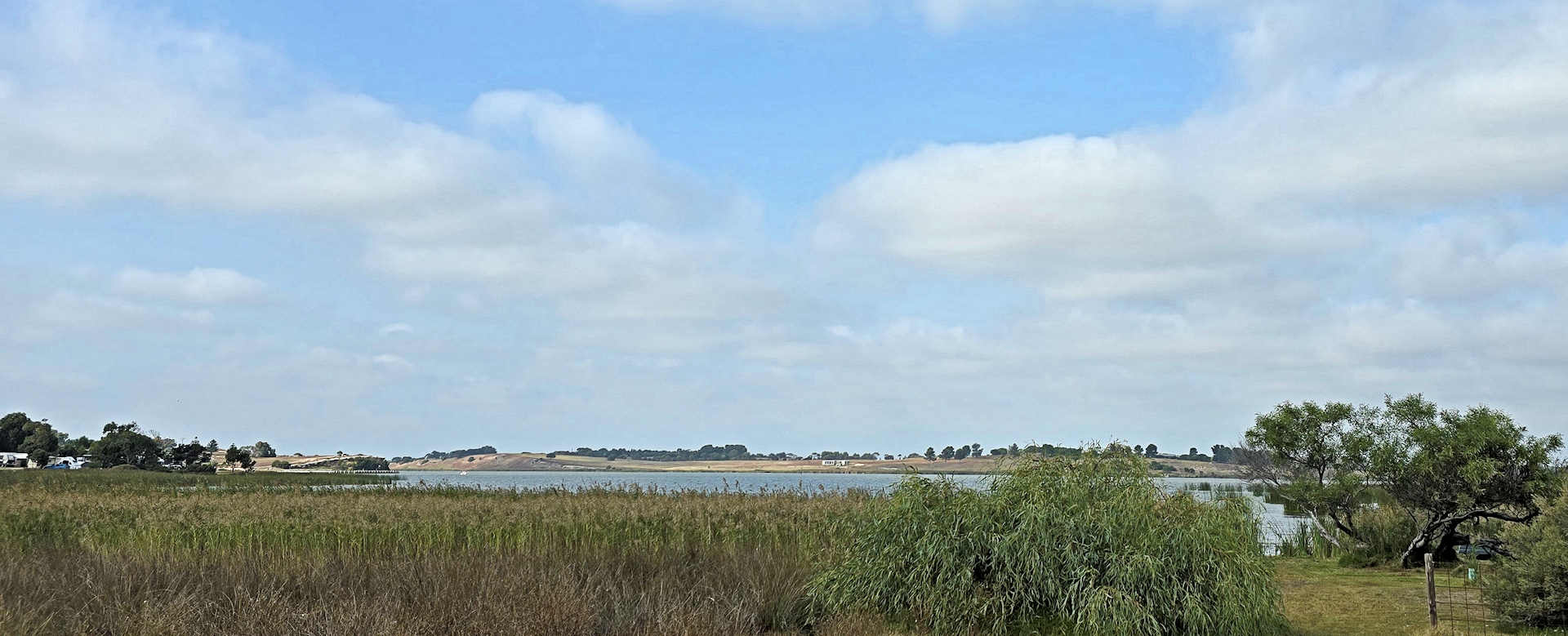
By Meninge, the wind had begun to ease with the sunset, but I still changed into extra socks and booties, and replaced the gilet with my all-night coat. By the time I arrived at Mannum, I was about ready to shove the gilet back on underneath the coat! Meningie was the last convenient stop for water until Tailem Bend, so I topped up a spare water bottle in my trunk bag. (I had no idea what might be at Narrung or Wellington around midnight, and no desire to risk someone's Alsatian finding out, but Tailem Bend has a 24 hour OTR.) I was joined by an 8-year-old boy who was quite fascinated by this filling of bottles and changing of clothes, much to the embarrassment of his mother!
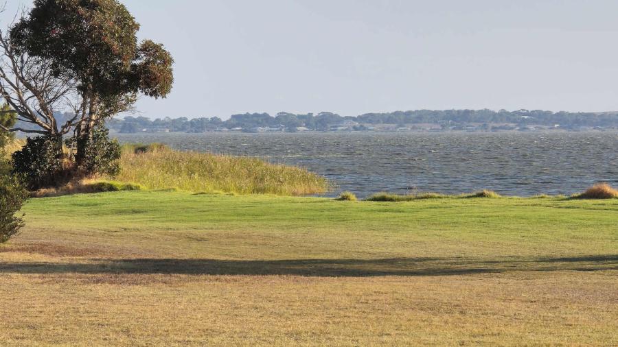
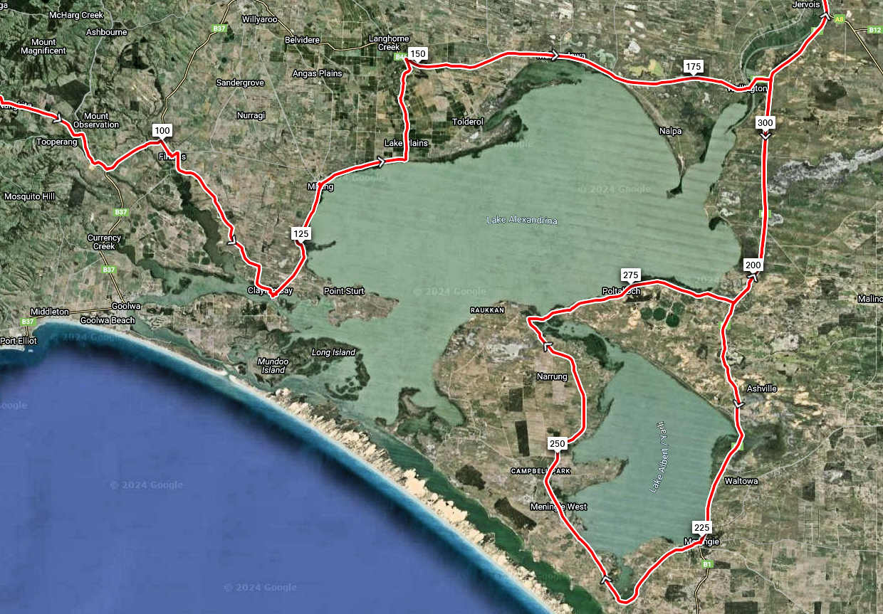
The ride across to the Narrung Ferry was glorious: Little wind, fast, and no traffic. By the time I reached the main highway just north of Ashville, the traffic there had died off as well. It was due north to Mannum from there, so that any of the south breeze that remained was in my favour. This back road to Mannum has a couple counter intuitive intersections, so good map reading or a GPS are advised 😊 It's easy to go to Bow Hill, instead.
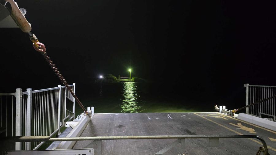
And... when you reach the east side of the Mannum ferry crossing in the middle of the night, and find the big sign that says the ferry is shut!!! ... just go a little further south and you'll find the second ferry still running. I always forget, and have a moment of horror!
Stats
Distance: 365km
Time: 24:20, Moving: 19:45, Stopped: 4:35
Moving Average: 18.5kmh, Real Average: 15.02kmh